Fullstack & GenAI
· Amaris, 2023 - Present
Geospatial ML Platform & GIS Pipelines (MASE)
Dataiku
GDAL / GIS
FastAPI
Node.js
AWS / Kafka
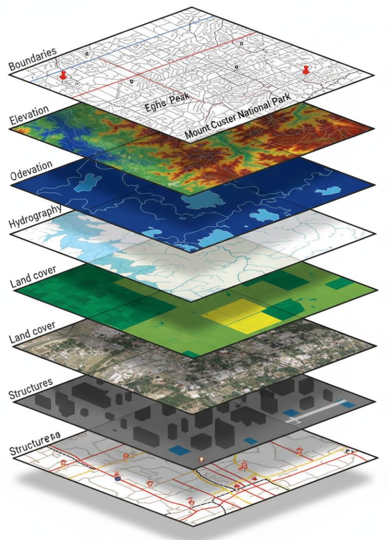
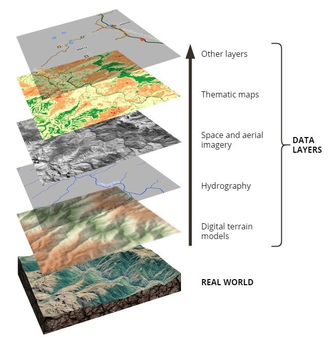
Designed and implemented custom Dataiku plugins and end-to-end GIS ML pipelines over satellite imagery (raster and vector data with GDAL). These produce agricultural and environmental insights such as soil-corrosion risk, evaporation-rate estimation, and land-use indicators.
Built the plugins with full UI so non-technical users can configure, train and deploy advanced models (CNN/DNN, RNN time-series, Regression Kriging, GAM, MLR). Delivered high-throughput backend microservices (FastAPI, Node.js, Kafka, AWS) and geospatial processing across multiple teams for the national-scale MASE platform.